Building an Automated Supply Chain Disruption Detection System Using Satellite Imagery and AI: Investment Portfolio Risk Management and Opportunity Seizing Strategy
In an era of increasing global supply chain uncertainty, the combination of satellite imagery and artificial intelligence (AI) offers unprecedented insights to businesses and investors. This system is an innovative solution that can proactively detect potential supply chain disruptions, effectively manage investment portfolio risks, and seize new market opportunities.
1. The Challenge / Context
Today's global supply chains are more vulnerable than ever due to unpredictable factors such as climate change, geopolitical tensions, pandemics, and cyberattacks. Traditional supply chain monitoring methods are mostly manual or reactive, leading to information delays that can cause significant losses to business continuity and investment portfolios. For example, a particular factory's shutdown might have already caused weeks of production disruption before the news is reported in the media. Such information asymmetry is fatal to investors. We are faced with the need to proactively respond to these uncertainties through a near real-time, objective, and global perspective. Now is the optimal time for increased accessibility to satellite data and advancements in AI technology to solve these problems.
2. Deep Dive: The Synergy of Satellite Imagery and AI
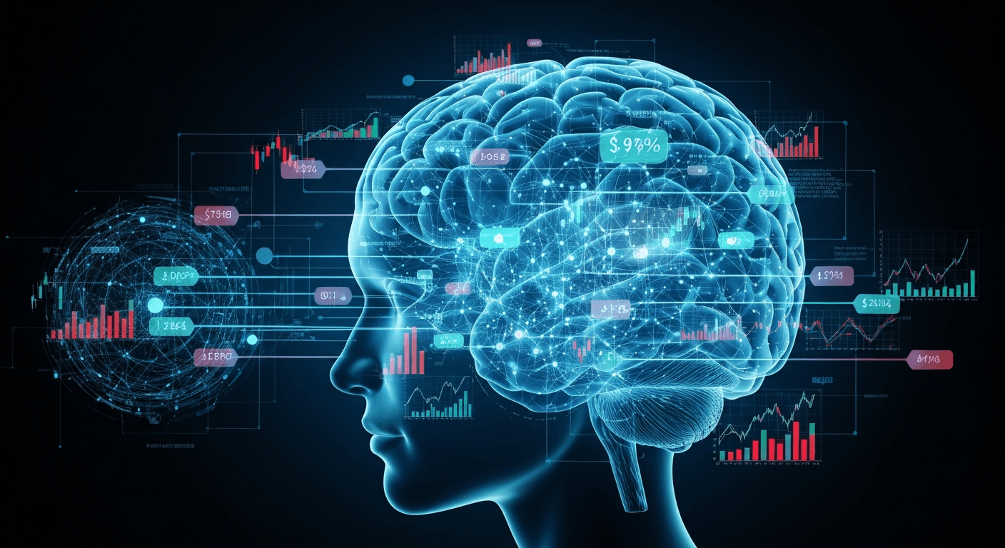
Satellite imagery and AI are the core drivers of supply chain disruption detection systems. Their combination enables in-depth analysis that was impossible with the naked eye or existing data.
- Satellite Imagery: